Water Quality History
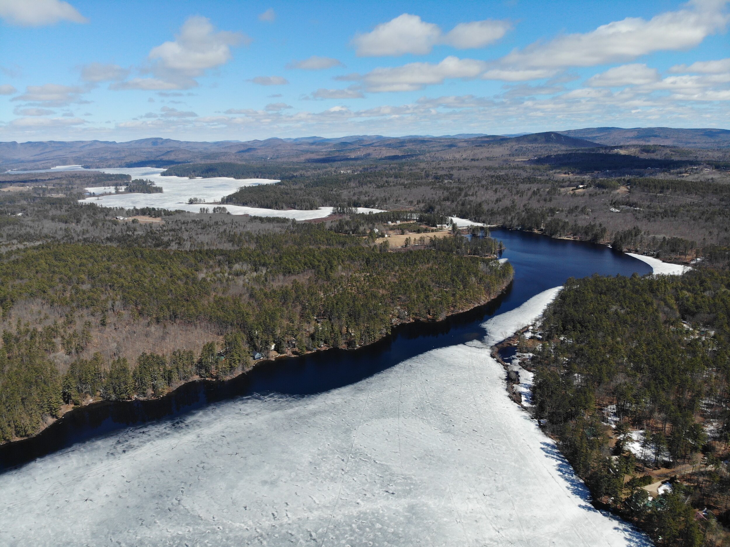
Carved out by raging streams trailing the glaciers of the last ice age, Kezar Lake and its neighboring ponds are surrounded by the White Mountain National Forest and Maine’s western foothills – remnants of the ice-age as well.
Early in the 20th century, as automobiles and railroads opened Maine to city dwellers in search of nature, Kezar Lake became a vacation spot and cottages began dotting the shoreline.
Fast forward to the sixties and seventies, and lake shore residents and town folks alike, became aware of the fragility of our environment, of local and atmospheric threats. Despite the absence of heavy industry, agriculture and highways close to the lake, this ecosystem needed protection. Sediments and nutrients from existing or future developments, aging septic systems, camp roads and driveways all posed a threat to the lake, primarily in the form of phosphorus, the limiting nutrient in freshwater systems, delivered to the lake via stormwater runoff into streams and lakes.
As a result, the Kezar Lake Association was founded, and a biologist was hired to conduct annual surveys and measure water quality. Fast forward to 2019, the same organization, now named Kezar Lake Watershed Association, celebrated its 50th anniversary, proudly looking back at 47 years of water clarity data, 37 years of dissolved oxygen measurements and 34 years of total phosphorus sampling. This treasure trove of knowledge allows us to observe trends and add perspective when we analyze our annual water quality data.
As development around the lake continues, our concerns remain, and man-made threats predominate while atmospheric changes, related to a changing climate, threaten. As other lakes in our region suffer algae blooms and deteriorating conditions, Kezar Lake and the ponds in our watershed remain pristine.
Monitoring water quality intensified in 2009, when KLWA engaged Forrest Bell and his scientists from FB Environmental to conduct monthly sampling and provide us with annual reports. A generous private foundation grant allowed us to upgrade technology in 2017 to include continuous measurements in the Upper and Lower Bay as well as join water quality monitoring with our Climate Change Observatory’s outreach to tributary streams.
Combining the efforts of scientists, local volunteers, concerned citizens and generous donors has created a living shield for our watershed. It’s a shield in need to constant support and tending as our environment continues to change.